WarnUS Point of Interest Tutorial
WarnUS retrieves and displays data for short-fused warnings (specifically tornado, severe thunderstorm, and flash flood warnings). WarnUS can also tell you if a particular county is under any alert at all (including watches and statements). Now, WarnUS has the option to add "Points of Interest" to a map. If a tornado, severe thunderstorm, or flash flood warning (not watch) polygon includes a point of interest, you'll be audibly and visually notified (if and only if the webpage is open).
Points of interest can be any point on the map. They can be the houses of friends and loved ones, major venues, hospitals, schools, parks. There is no limit to the amount of points you can have, but the more points you have, the slower WarnUS will run.
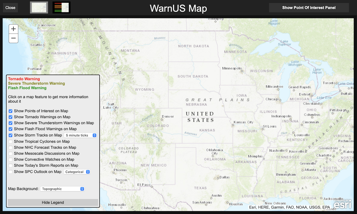
Step 1: To add/modify Points Of Interest (POIs), open the full map. Locate the "Show Full Map" button on the side panel under "View" (if you're using the old page, the button will be at the bottom of the page). Click on this button to open the full map.
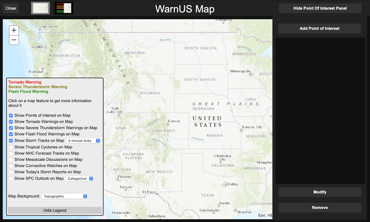
Step 2: Once the full map is open, in the top right corner of the panel another button will appear that says "Show Point Of Interest Panel". Click on this to reveal the Point Of Interest panel. NOTE: If the Virtual Weather Radio is showing, you may need to hide it in order to see the "Show Point Of Interest Panel" button.
Step 3: Now locate the "Add Point Of Interest" button and click on it.
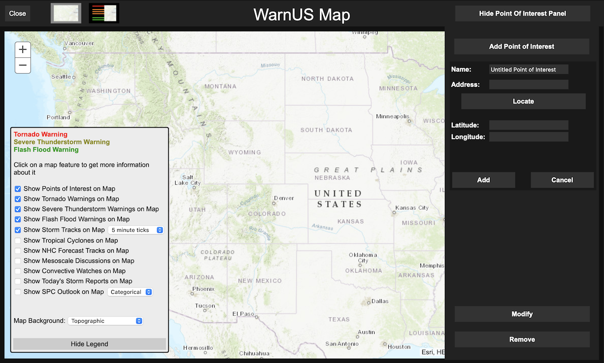
Once clicked, you'll have the ability to add a Point Of Interest (POI) via three methods:
- Manually entering latitude and longitude coordinates (using positive and negative conventions, i.e. a longitude of 150°W would -150)
- Clicking on the map (you'll see a grey dot appear wherever you click)
- Entering an address (down to the street number and street if you so desire)
NOTE: Whatever information you enter will NOT be saved on the WarnUS server.
Click on the "Add" button to add the POI to the map. Unless there's already a warning in effect for its location, a black dot should appear on the map and the name of your POI should appear on the POI panel. All POI information will be saved to your browser's local storage. Therefore, if you use WarnUS in a different browser, different (if any) POIs will be loaded.
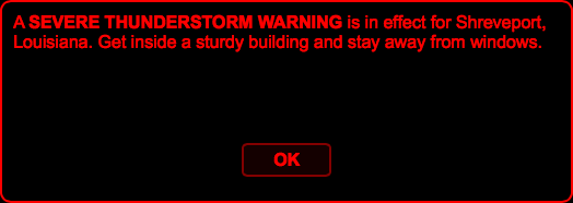
If an alert is issued for a POI (or an update to an existing alert is issued), a dialog box similar to the one below will tell you which Points Of Interests are under warnings and what type of warning(s) they are under.
On the side panel of the WarnUS page (the top bar on the old page), there is a button that says "Show Points Of Interest". Click on this to see a comprehensive list of all the Points Of Interest that are under warnings.
A few other notes about the Point Of Interest interface:
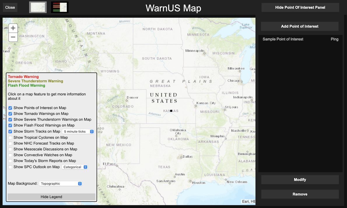
- Points Of Interest can be selected for modification or removal by clicking on the name of the POI. A selected POI will be highlighted red. Multiple POIs can be selected at once. Clicking a selected POI again will deselect it.
- Any Point Of Interest that is under an alert will have a colored dot appear next to its name on the panel and will be colored something (other than black) on the full map. Currently, POIs do not appear on the small maps for viewing individual warning polygons.
- To locate a particular Point Of Interest, click on the "Ping" to the right of its name. The map will center itself on the coordinates for that particular POI. Clicking the "Ping" again will zoom into the POI. Each subsequent "Ping" of the same POI will cause the map to zoom in farther.
- You can toggle the appearance of the POIs on the map. Checking or unchecking the "Show Points of Interest on Map" will show or hide the POIs on the map.